Behind the data
Producing information on future climateclimate
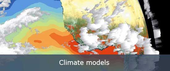
Climate in a narrow sense is usually defined as the average weather, or more rigorously, as the statistical description in terms of the mean and variability of relevant quantities over a period of time ranging from months to thousands or millions of years. The classical period for averaging these variables is 30 years, as defined by the World Meteorological Organization. The relevant quantities are most often surface variables such as temperature, precipitation and wind. Climate in a wider sense is the state, including a statistical description, of the climate system. demands a lot of work and a huge amount of data. Climate models describe the climate systemclimate system
The climate system is the highly complex system consisting of five major components: the atmosphere, the hydrosphere, the cryosphere, the lithosphere and the biosphere, and the interactions between them. The climate system evolves in time under the influence of its own internal dynamics and because of external forcings such as volcanic eruptions, solar variations and anthropogenic forcings such as the changing composition of the atmosphere and land use change. by incorporating the physics and chemistry of the atmosphere and the oceans in a numerical form. ScenariosScenarios
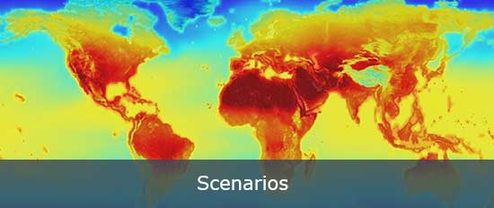
Scenarios can be thought of as stories of possible futures. They allow the description of factors that are difficult to quantify. In the context of climate change scenarios are used for the future development of factors such as governance, social structures, future population growth, technical development and agriculture. These descriptions are essential to model the future climate. provide input information necessary for climate models to produce data on future climate pathways.
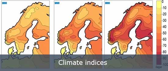
However, data produced by climate models is not detailed enough for certain applications, such as hydrological and other impact models. DownscalingDownscaling
Downscaling is a method that derives local- to regional-scale (10 to 100 km) information from larger-scale models or data analyses. Two main methods exist: dynamical downscaling and empirical/statistical downscaling. The dynamical method uses the output of regional climate models, global models with variable spatial resolution or high-resolution global models. The empirical/statistical methods develop statistical relationships that link the large-scale atmospheric variables with local/regional climate variables. In all cases, the quality of the driving model remains an important limitation on the quality of the downscaled information. methods are then applied to give more detailed information. Climate indices are calculated from the climate model’s output data to produce more accessible and thus useful information for different sectors.